This is the exact embedded text of the captured official document.
Snapshot f1aaca020bc2 · verified 2026-10-19 ·
original document ·
archived snapshot ·
unofficial consolidation, the official version is held by the municipal clerk.
# Zoning

Click for Larger Image
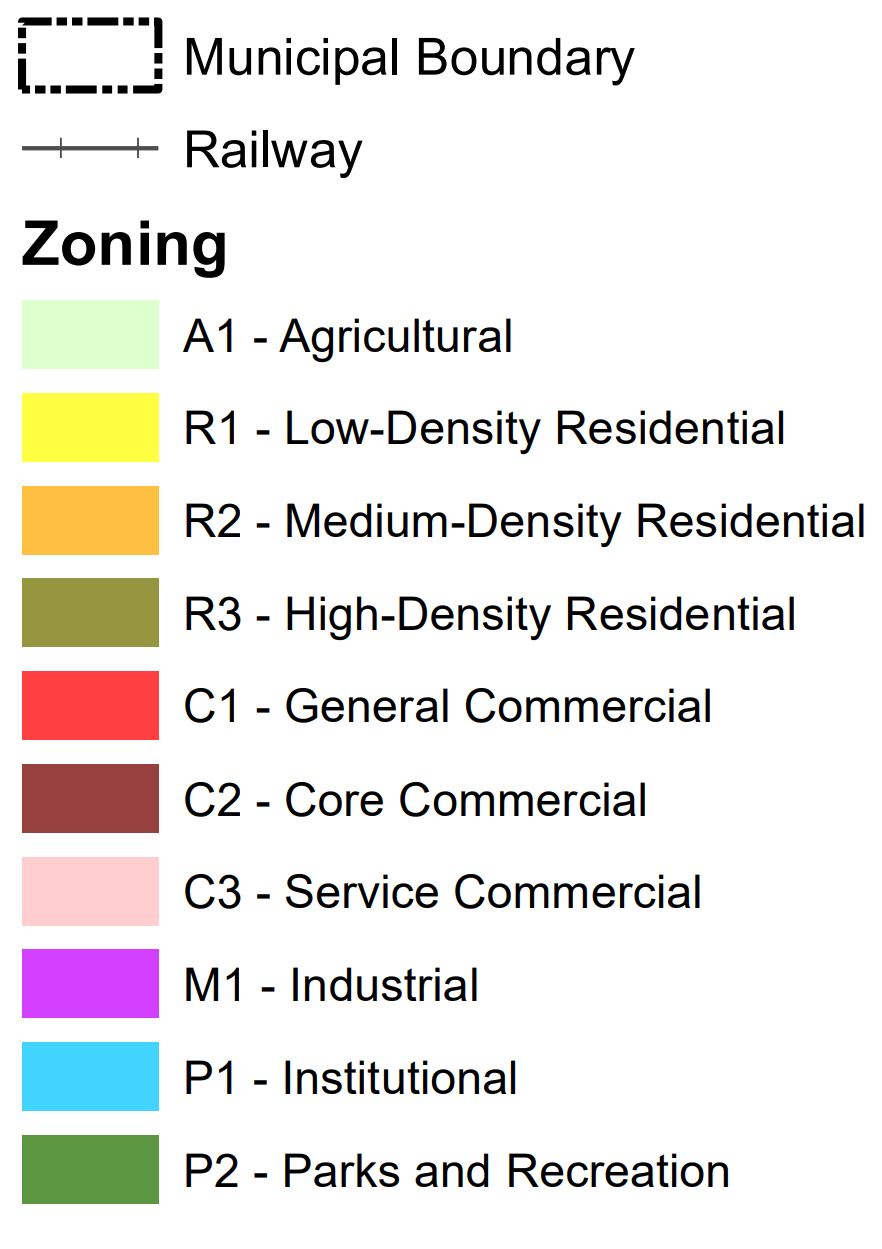
Zoning Bylaw No. 1010, 2017 is in place to provide a system that sets land use regulation within the Village of Pouce Coupe boundaries. The bylaw ensures orderly, economic, equitable and environmentally sensitive use, development and redevelopment of the Village of Pouce Coupe in regard to the provisions and contents of the Official Community Plan Bylaw No. 989, 2016.
The zoning map (above) is colour coordinated to show the different types of zones.
The entire zoning bylaw, which includes a full map at the back, can be viewed HERE.
### Data Sources:
* Municipal boundary and Parcel data provided by the Peace River Regional District. 2016.
* Water features and railway provided by GeoGratis. May 2015.